WETTER

Workspace and Experimental Toolkits for Data Transformation, Exploration and Research

Images aren’t just pixels—they are structured data.

Analyze scientific images and data in 2D, or explore them in 3D / XR. Drop raw files straight into the viewers — or take a curated or converted route when the dataset needs it.

Viewers The core pair — 2D inspection and N-dimensional exploration
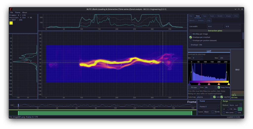
BLITZ analyzing a 2D time series
BLITZ Analyze 2D / stats
High-performance 2D inspection, measurement, and stats — drag-and-drop raw files and folders.
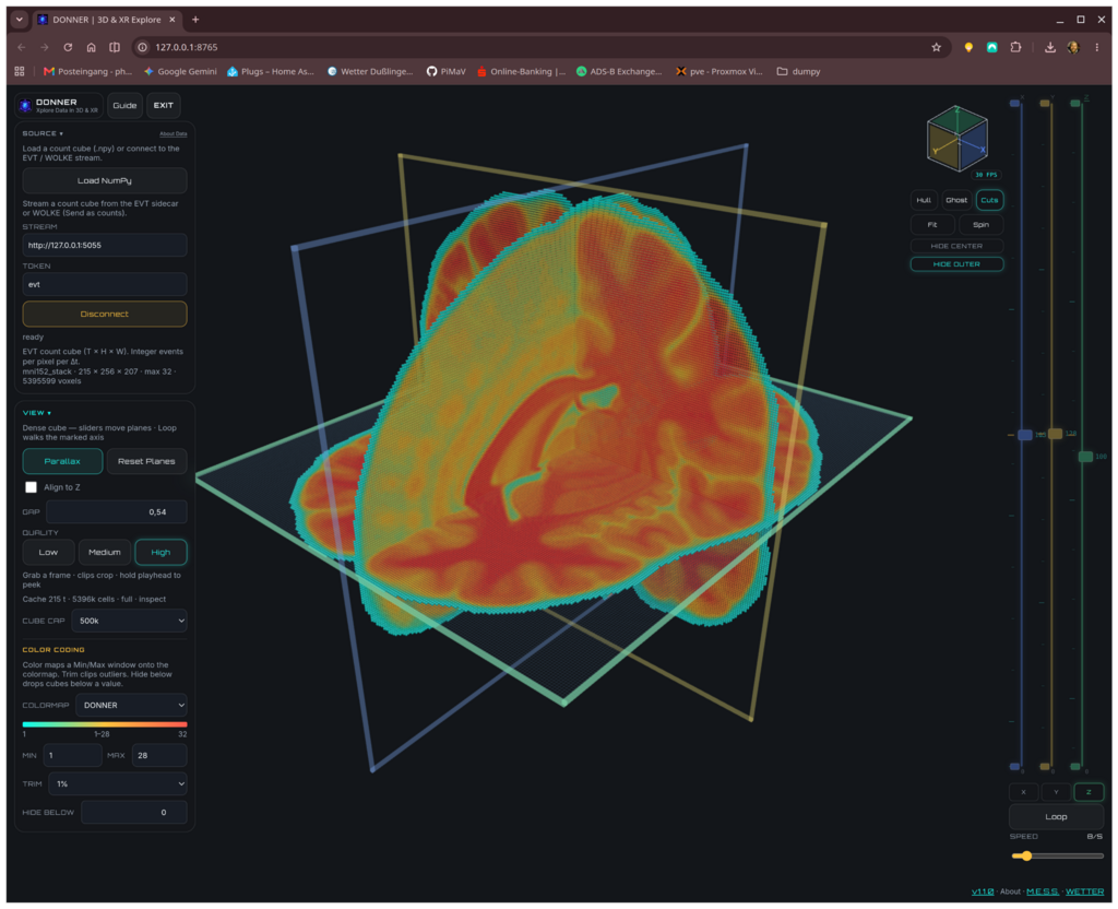
DONNER exploring a volumetric brain scan
DONNER Explore 3D / XR
Immersive exploration of N-dimensional volumes, events, and XR views — also straight from raw data.
Curated route Curated path Build a browsable SQL image database, then filter into the viewers
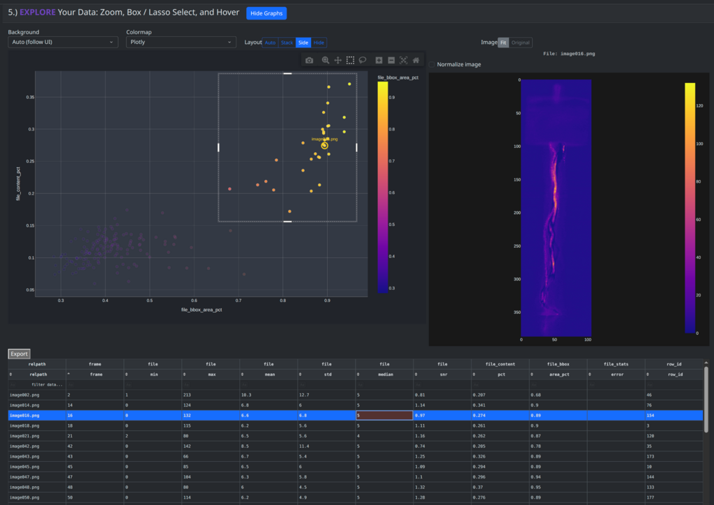
WOLKE filter and select view
WOLKE Filter & select
Filter and select from a browsable SQL image database into the viewers.
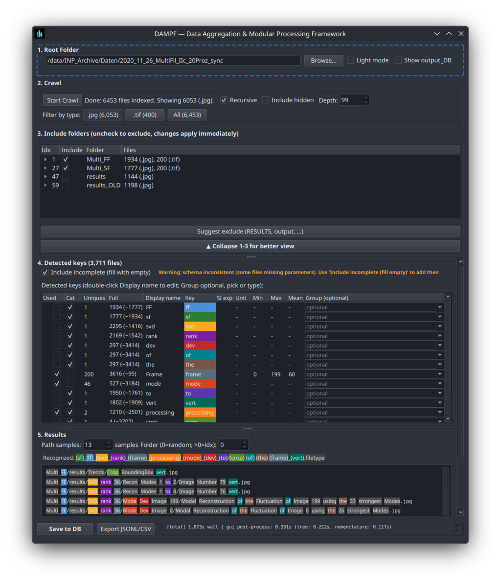
DAMPF ingest and normalize view
DAMPF Ingest & normalize
Ingest and normalize scientific image collections.
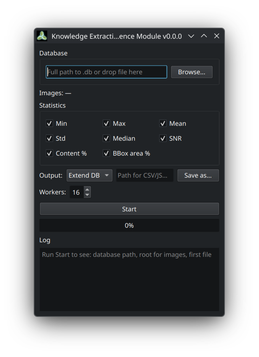
KEIM index and enrich dialog
KEIM Index & enrich
Index and enrich with statistics and extracted knowledge.
Direct route Direct from raw Drop files or folders straight into BLITZ or DONNER — no pipeline required
Sidecars Converted path When the data needs a converter
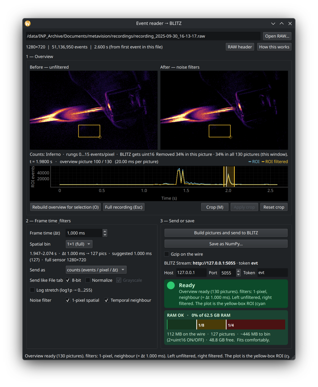
Event camera Streamer converting camera raw to a viewer stream
Event camera Streamer EVT / raw → stream
Convert event-camera raw into a viewer stream.
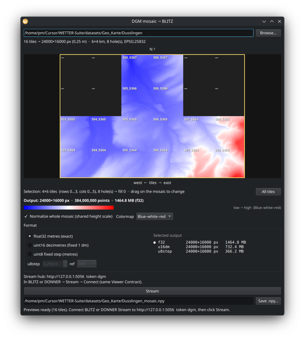
DGM mosaic tiling GeoTIFF elevation tiles for a viewer stream
DGM mosaic GeoTIFF tiles → stream
Mosaic GeoTIFF tiles into a viewer stream.
Raw Data Ocean (Scientific) images in all their glory; from JPEG/TIFF via NumPy to ASCII and more

Lab & scientific
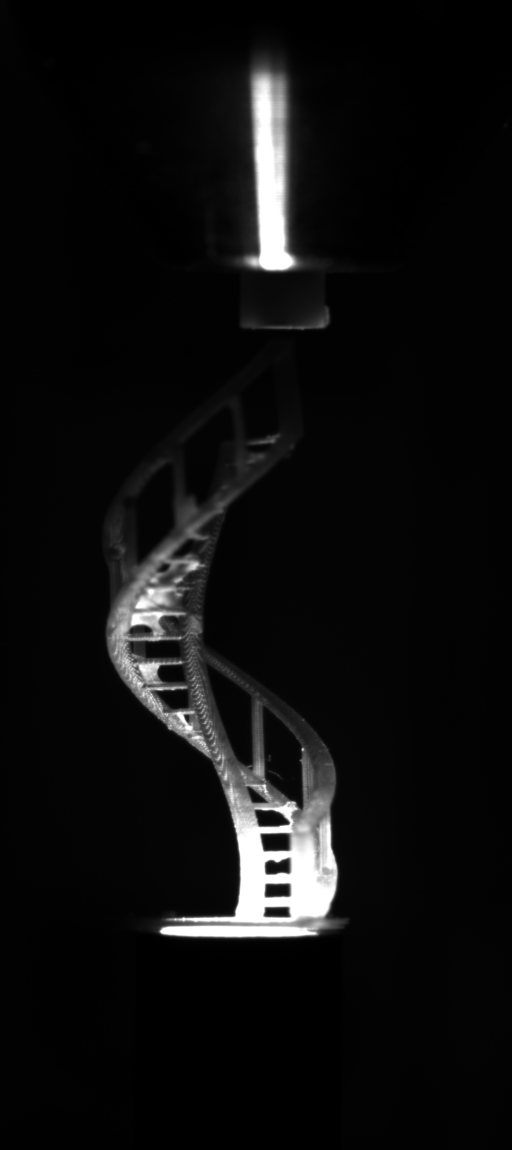
Far-field microscopy of an SLS print
Microscopy
SLS / far-field micrographs
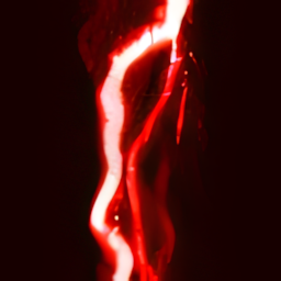
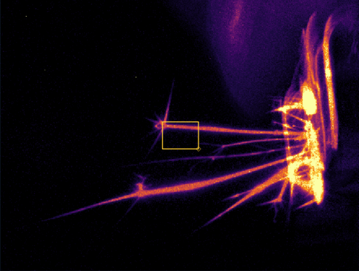
Event camera recording
Event camera
Event streams (Prophesee / IDS EVT-class chips)
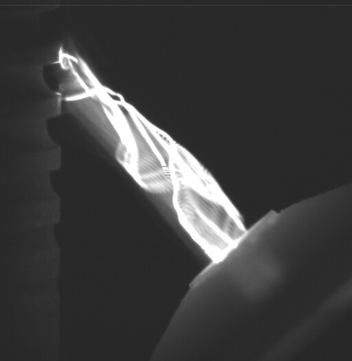
ICCD lab capture
ICCD
Intensified CCD — fast lab diagnostics
sCMOS lab frame
sCMOS
Scientific CMOS frames

Field & environment

Atmospheric infrared image
Atmospheric IR
Atmospheric infrared frames
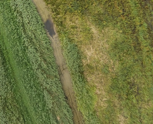
Aerial geodata from drone footage
Aerial / geodata
Drone / aerial mapping footage
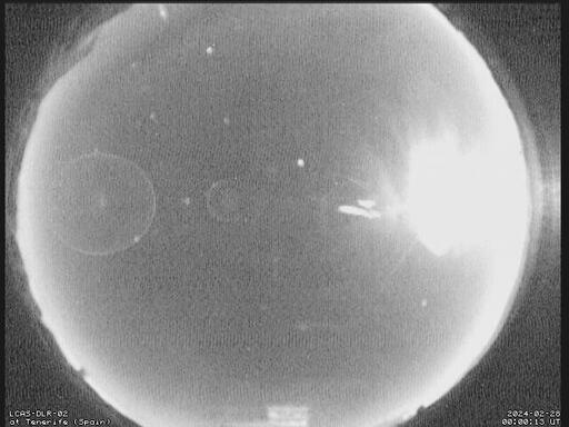
All-sky camera frame
All-sky
All-sky / sky-dome cameras
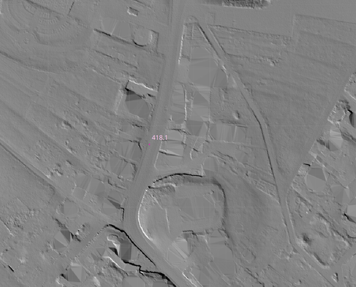
Hillshade terrain
Hillshade
Classic terrain / geospatial hillshade

Arrays & sensing

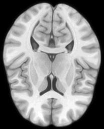
MRI / MRT volume slice
MRT / MRI
Volumetric medical imaging (MRT / MRI)
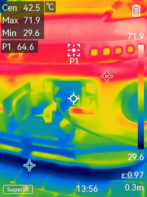
Micro thermal camera frame
Thermal
Micro thermal (e.g. HIKMICRO-class)
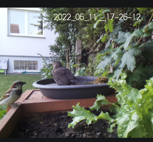
Timelapse recording
Timelapse
Long-duration optical timelapse
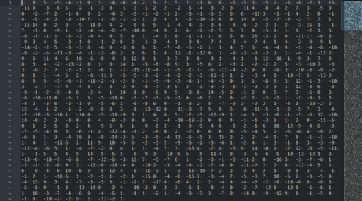
Tabular and array data
Tables & arrays
Tabular / array scientific data

Three ways into the viewers: Direct white hops from the ocean, optional Curated (cyan after DAMPF → KEIM → WOLKE), or Converted (amber after a sidecar).

Scientific Imaging Dataset Exploration Knowledge Extraction Image Analysis Open Source

README on GitHub